
Groundbreaking AI Model for Wildfire Prediction: A New Horizon in Fire Management
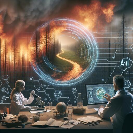
In an unprecedented advancement in the combat against wildfires, researchers from the University of Southern California (USC) have unveiled a novel approach to forecast the spread of wildfires with remarkable accuracy. This innovative method synergizes the power of generative artificial intelligence (AI) with the detailed imagery from satellites, offering a transformative tool in the arsenal for wildfire management and emergency response strategies.
Published as an early study proof in Artificial Intelligence for the Earth Systems, the USC-developed model leverages satellite data to monitor the progression of wildfires in real time. This crucial information is then fed into an advanced computer algorithm, specifically designed to project the likely pathway, intensity, and growth rate of the fire, marking a significant leap forward in predicting wildfire behavior.
The development of this model arrives at a critical time as California, along with much of the western United States, faces an increasingly severe wildfire season. The region has been besieged by multiple wildfires, driven by a perilous mix of wind, drought, and scorching heat. Notably, the Lake Fire, the most extensive wildfire in the state this year, has devastated over 38,000 acres in Santa Barbara County alone.
“This model represents an important step forward in our ability to combat wildfires,” expressed Bryan Shaddy, a doctoral student in the Department of Aerospace and Mechanical Engineering at USC Viterbi School of Engineering and the study’s corresponding author. “By offering more precise and timely data, our tool strengthens the efforts of firefighters and evacuation teams battling wildfires on the front lines.”
Reverse-Engineering Wildfire Behavior with AI
The research team embarked on their journey by collecting historical data on wildfires from high-resolution satellite images. By meticulously analyzing the behavior of past wildfires, patterns began to emerge, influenced by factors such as weather conditions, available fuel (including trees and underbrush), and the terrain’s layout.
Utilizing a generative AI-powered computer model known as a conditional Wasserstein Generative Adversarial Network (cWGAN), the researchers succeeded in simulating how these diverse factors impact the evolution of wildfires over time. The model was trained to identify patterns in the satellite imagery that correspond with real-world wildfire spread patterns.
The robustness of the cWGAN model was put to the test on actual wildfire incidents that took place in California between 2020 and 2022, assessing its predictive accuracy in real-world scenarios.
“By studying how past fires behaved, we can create a model that anticipates how future fires might spread,” remarked Assad Oberai, Hughes Professor and Professor of Aerospace and Mechanical Engineering at USC Viterbi and co-author of the study.
Oberai and Shaddy noted the impressive performance of the cWGAN, even though it was initially trained on simulated data under controlled conditions. This success can be attributed to integrating the cWGAN with actual wildfire data from satellite imagery, a combination that bolstered its predictive capabilities.
Wildfires present a unique challenge due to their chaotic nature, involving complex chemical reactions, and being influenced by numerous environmental factors. According to Oberai, accurately modeling such phenomena requires accounting for a myriad of factors, necessitating advanced computing technologies.
The promising results of this study were made possible through collaboration between USC researchers and experts from several other institutions, underscored by support from key funders including the Army Research Office, NASA, and the Viterbi CURVE program.
As wildfires continue to pose significant threats to landscapes, properties, and lives across the globe, the development of predictive models like the one from USC represents a beacon of hope. By harnessing the power of AI and satellite imagery, we edge closer to a future where wildfire management and response can be conducted with greater precision, effectiveness, and foresight.