

Introduction: Exploring the Dynamic Interplay of Tourism, LULC, and LST
Since 2013, Pakistan’s Northern Areas have witnessed a significant boom in tourism, leading to noticeable transformations in land use land cover (LULC) and land surface temperature (LST). The districts of Shangla and Buner in the Khyber Pakhtunkhwa (KPK) province, known for their picturesque landscapes, pleasant climate, and rich biodiversity, have become prime destinations for both local and international tourists. This surge in tourism, accompanied by population growth and urban spread, has impacted the environmental and social fabric of these regions, affecting LULC and LST dynamics. Despite the clear influence of tourism, an in-depth examination of its association with LULC and LST in these areas remained unexplored until now. This study addresses this gap by analyzing the impacts of tourism using remote sensing data spanning 30 years and predicting future trends with advanced modeling techniques.
The Scenic and Biodiverse Attractions of Buner and Shangla
Nestled in the lower Himalayas of Northern Pakistan, Buner and Shangla enjoy a strategic location between 33°45′ to 34°30′ N and 73° to 73°30′ E. These districts cover an area of 2800 km2, with a diverse population that grew from 0.7 to 1.2 million between 1998 and 2020. This growth was driven by both urban and rural development, recording rates of 4.3% and 2.5%, respectively. Famous for their lush valleys, towering mountains, and dense forests composed of species like Pindrow Fir and Blue Pine, the districts range between 2000 to 3000 meters in elevation, peaking at 3440 meters. Shangla Top, Bar Puran, Shahida Sar, and Daggar are key tourist spots identified for their ecological sensitivity, tourist appeal, accessibility, and cultural heritage, making them focal points for understanding tourism’s environmental impact.
Methodology: Harnessing Remote Sensing and Forecasting Tools
To comprehensively understand LULC and LST changes over decades, Landsat images from 1990, 2005, and 2020 were analyzed. These images, processed using Arc-Map 10.5 and enhanced with driving variables from the United Geological Survey (USGS), facilitated accurate LULC classifications. The research employed Artificial Neural Network (ANN) models for classifying land categories like built-up areas, vegetation, agriculture, and water bodies, achieving classification accuracies above 80%. Ground validation was crucial, involving aerial imagery, Google Earth, and fieldwork GPS data to refine accuracy.
Advanced modeling with the Cellular Automata Markov (CA-Markov) and ANN tools provided predictions for future LULC and LST scenarios. Using Quantum Geographic Information System (QGIS) and MATLAB, the study integrated historical LULC patterns with predictive variables like elevation and road distance for forecasting up to 2050. The CA-Markov model used logistic regression and iterations to simulate potential land cover transitions, while the ANN model trained with historical LST data assessed future temperature variations, ensuring a robust analysis by employing metrics like Mean Squared Error (MSE) and correlation coefficients.
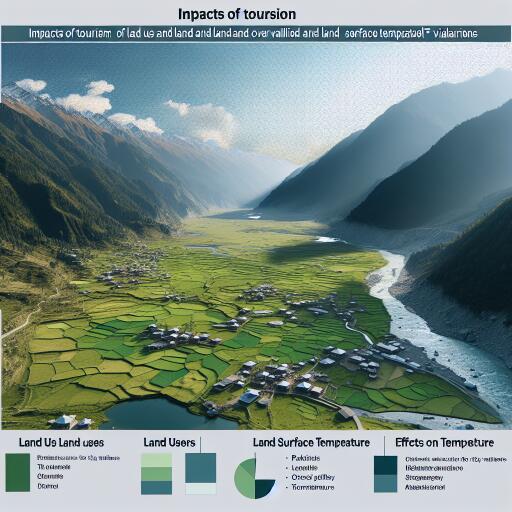
Tourism-Induced Transformations: LULC and LST Dynamics
Tourism in Buner and Shangla has contributed to significant LULC changes, evidenced by increased built-up areas and modified vegetation patterns. The transition from natural landscapes to developed infrastructures highlights the pressure tourism exerts on ecological systems. LST analysis revealed crucial temperature shifts aligned with alterations in land cover, reinforcing the environmental impact narrative.
The study’s predictive exercises using CA-Markov and ANN models highlight prospective trends should current tourism and development activities continue. LULC forecasts for 2035 and 2050 anticipate expanded urbanization, necessitating sustainable planning to mitigate environmental repercussions.
Conclusion: Guiding Sustainable Tourism Policies
By examining the interplay of tourism, LULC, and LST changes, this study offers valuable insights into the socio-environmental dynamics at play in Northern Pakistan’s prized tourist locations. These findings not only shed light on past and present transformations but also carve a path for sustainable tourism management policies. Prioritizing eco-friendly development, preserving natural habitats, and balancing tourism-induced economic benefits with environmental stewardship are essential steps forward.
As we project into the future, the research underscores the importance of strategic planning and collaboration between governmental bodies and local communities to maintain the ecological health and tourism allure of Buner and Shangla. This approach ensures these regions continue to thrive as cherished destinations while safeguarding their natural and cultural heritage for generations.